Return a Raster
wrf_raster(
  file = file.choose(),
  name = NA,
  latlon = F,
  level = 1,
  as_polygons = FALSE,
  map,
  verbose = FALSE,
  ...
)
Arguments
- file
wrf file
- name
variable name
- latlon
project the output in "+proj=longlat +datum=WGS84 +no_defs"
- level
only for 4d data, default is 1 (surface)
- as_polygons
logical, true to return a poligon instead of a raster
- map
(optional) file with lat-lon variables and grid information
- verbose
display additional information
- ...
extra arguments passed to ncdf4::ncvar_get
Examples
{
wrf <- paste(system.file("extdata", package = "eixport"),
"/wrfinput_d02", sep="")
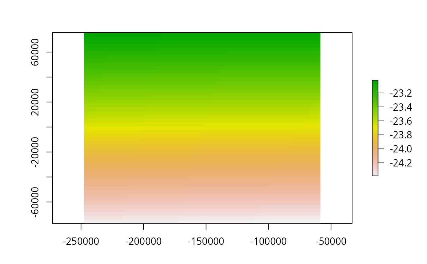
r <- wrf_raster(file=wrf, name='XLAT')
library(raster)
plot(r, axes = TRUE)
}
#> Loading required package: sp